Monday, November 17, 2014

Colfax Peak, Cosley-Houston

It has been a while since I've posted a trip report.  Only because it's been a while since I've done anything worthwhile.  Life continues to get busier.  Recently, Eric and I managed to nail a sometimes-elusive Winter route, the Cosley-Houston on Colfax Peak.  Colfax is a sub-peak of Mt. Baker, but makes the Bulger list because of its relative prominence at 9355 ft.  The route is a typical difficult Winter route, and in good condition is rated at AI4, grade III.  We found it harder than that, with one pitch overhanging, AI5.

Typical spur-of-the-moment plans were hatched after we considered significantly tamer options.  Vague second-hand reports suggested that the route was in.  We hit the road on a Monday off and were on the trail by 6:30 am.  The road was open to the Heliotrope TH.  I brought new Microspikes for the approach, which were very helpful on the iced-up trail.  We didn't hit snow until we were at the moraine.  We roped up there, and navigated the fairly-solid Coleman Glacier, making it to the base of the route around 10:30.

First good view of Colfax right of Baker
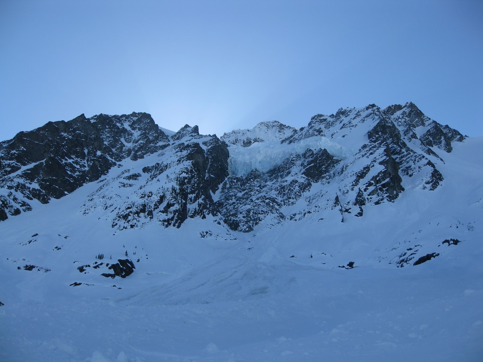
 Colfax has two technical routes, and the descent route is a steep snow scramble from the Coleman saddle.  The harder route has apparently only seen one prior ascent - the Polish Route, WI5+.  It was tempting, but hadn't quite connected between steep flows.

The Polish Route WI5+ is the central flow
 We geared up at the bergschrund after deciding the the Cosley-Houston looked in, and definitely not a gimmie.
The Cosley-Houston is the right gully system
Eric scopes the crux WI4 (WI5) pitch
 I decided to lead us up the lower section.  I found thin, but fun, protectable WI3 climbing.  Just short of the steep pillar, I started to worry about rope length.  So I built an anchor on the one final curtain before the snow ramp leading to the crux pitch.  Eric took us the rest of the way there.

Josh on P1
Josh nearing the top of P1
Eric at the base of the crux
Eric led the crux pitch in style.  It was steep!  Overhanging WI5 for 40 feet or so.  Gear and sticks were good.

Eric looking solid on P3, WI5
 The crux for me was due to the fact that at the top of the steep pillar, the route degenerated to a thin layer of neve over loose sugar snow.  There was no potential for a rock anchor.  Eric took a long time to build an anchor consisting of two dead-manned ice tools, and himself as a "meat anchor".  That made me extremely nervous to fall following the overhanging pillar.  That combined with this being my first ice climb of the season, I proceeded to follow half of it cleanly before aiding the rest on screws so that I wouldn't have to test the anchor at all.  I was exhausted when I got to him, but thankfully we were both safe.  We burned a lot of time combined on that pitch.

At this point another party of three had reached the base of the route and started up.  I led the snow ramp to the next short steep curtain.  It was WI3+ to WI4.  I had planned on leading it, but I was gassed after my aiding scenario and panic on the last pitch.  So I gave it to Eric.  I should have led it.  It was really fun stemming.  No pics.  Above that, it was more snow for a few hundred feet to reach the top.  It was protectable with pins.

Upper snow slopes
We topped out on the route around 3:30.  Not blazing fast, but considering our shenanigans on P3, not bad.  Sweet summit!  And elusive.

Eric on top of the route
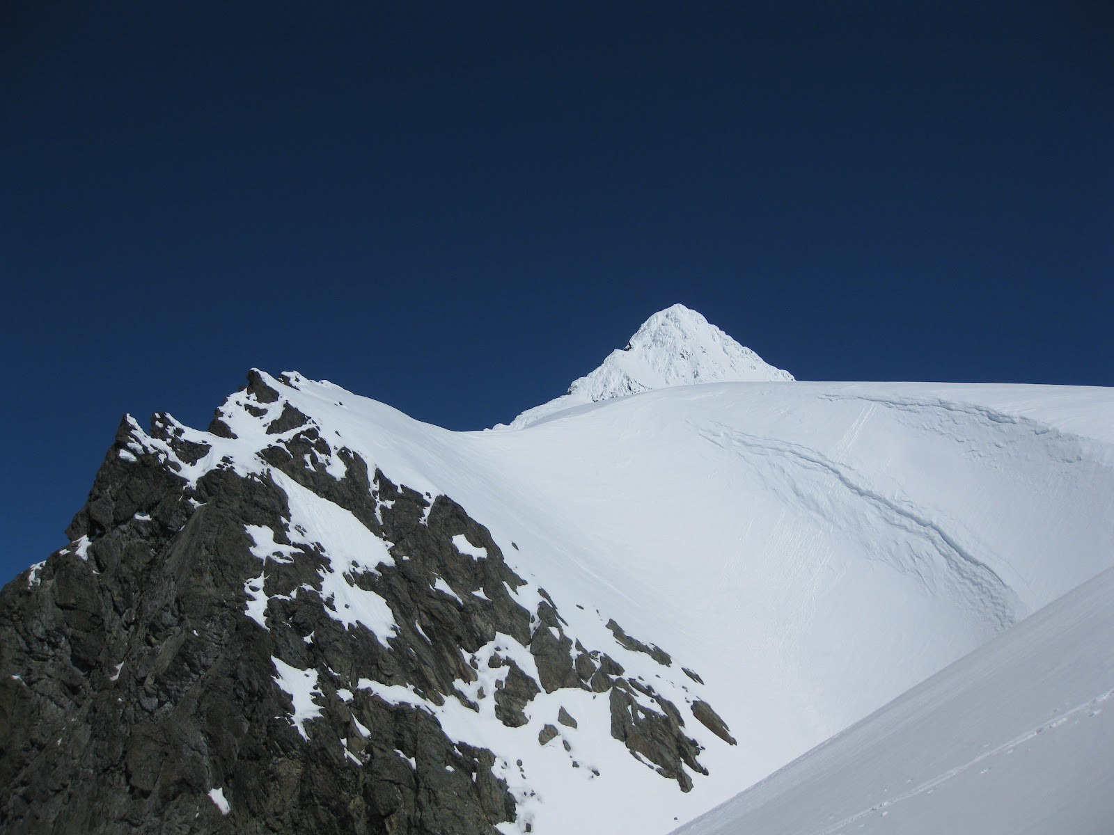
Josh approaches the true summit of Colfax
Eric climbs the final ridge to the summit
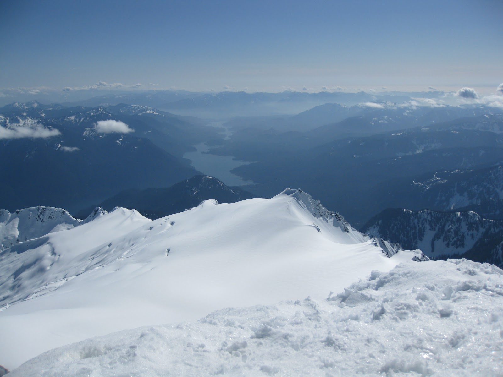
Heading down the downclimb to the saddle, overlooking the Easton Glacier
Cool perspective on Baker
Descent route on the right
If I were to climb the route again, I'd bring at least one picket each.  With pickets, the leader could have built reliable anchors above the crux pitch.  Reading past trip reports, others have struggled with the same issue, even with decent snow conditions.  It was the first time that I was more scared to follow a pitch of climbing than lead it.   Eye opening.  Overall, it is an extremely high-quality route.  Plenty of steep ice - we pitched it into 6 pitches in total, with a little simul-climbing.  As we descended the Coleman Glacier, the sun set.  We gave the party of three one last holler to cheer them on.  They had just finished the crux pitch, and would definitely be climbing in the dark or spending an unplanned night on the route.  I hope they made it safe.  We made it off the glacier to the moraine just as complete darkness fell, and made the long trudge down the icy trail by headlamp.

Saturday, December 7, 2013

Chair Peak, Northeast Buttress

I have finally reached the point in my winter climbing that I no longer feel the need to wait for trip reports to make a run at a potential route.  In Washington if you do that, by the next weekend or opportunity the chance will have slipped through your fingers.  It means that I now accept the risk of taking "the tools for a long walk" in order to reap the rewards.  Two weeks ago, Eric K. and I made an attempt at the Cauthorn-Wilson route on Cutthroat Peak in the North Cascades.  It wasn't in, but it was close.  And now, the highway is closed, so we won't get another chance at it.  It was a fun day anyway.  Yesterday, type 1.5 fun was had on Chair.  For those of you who are familiar with that grading system, you will appreciate that for Winter climbing, that is pretty dang good.  In fact, I don't think conditions could have possibly been better.  The sun was out.  There was no wind.  There was no avalanche danger.  The ice was present where needed, and protectable.  The snow was perfect for cruiser climbing.  I had an awesome partner, my good buddy Matt.

We met in North Bend around 6:30, and left the Alpental parking lot at 7:20.  We took the Summer trail due to minimal snow cover, which worked out.  The approach went smoothly, and in a little over two hours we were racking up.  As we made the final approach from the Thumb we saw a party of two stalling out while attempting to gain the approach ridge by making a few rock moves, and eventually they downclimbed.  We headed climber's right from the Thumb and took an easy snow gully to gain the ridge.  That party ended up bailing altogether, which left us being first at the base.  As soon as I got started on the first pitch a party of four showed up.
Northeast Buttress of Chair Peak
 After surveying the options, I decided to take the right variation on pitch one.  The left variation actually looked like easier climbing with fairly moderate ice, but it looked thin enough that protection would be difficult.  The right line was more mixed, but looked more protectable.  Two or three years ago Matty had led the right variation, and at the time stated that it was one of the hardest leads of his life.  Conditions must have been better this time.  I found the first pitch interesting, thought-provoking, challenging, but never scary.  It was very protectable, and super-fun!  I used mostly rock gear, and clipped one existing piton.  There was a short ice step, but I didn't place a screw.  There are plenty of big trees at the top for anchors.
Pitch one has two variations, we took the right
 Matt took the second pitch.  "Safety Matt", as he calls himself.  In his words, he got lured by the siren song of rock outcroppings for protection on climber's right.  The easier climbing was straight up the open snow, which was perfect 50-degree styrofoam for Ueli-stylin'.  He ended up stopping halfway up and bringing me up.  At that point we got passed by the couple behind us, two out of the party of four that came up after us.
Pitch two, perfect 50-degree styrofoam snow

Matt hangs out at the second belay
 That was unfortunate.  I led the rest of the way up to the base of the ice pitch.  But there was only one good place for an ice anchor at its base, and the previous party was established there.  So I went climber's left a little and built an anchor out of one 22" screw and a picket.  The unfortunate thing was that it was directly in the line of fire from above.  I got shelled big-time.  Once the party moved on we moved the anchor over.  I led the ice pitch as well, as Matty wasn't feeling to solid after his struggle on the steep snow pitch.  The ice section was short, but steep.  It was slightly overhanging at first, then mellowed out.  I'd give it a WI3 rating currently.
Pitch three, short steep ice step
 After pulling the bulge it was back to 50-degree styrofoam to the summit.  It is longer than 60 meters from the base of the ice to the summit plateau, with marginal protection in between.  I placed one piton, slung one shrub, and then we simul-climbed.  I felt pretty solid, but it was interesting to be simul-climbing, knowing that Matt was still on overhanging ice.
Josh on top in perfect weather 
Matty is always happy in the mountains
 We made the summit first, then the other party joined us.  Their other twosome had never made the top of the first pitch.  We are still not sure whether they made it partway and then lowered off, or never attempted it, or what.  We ended up teaming up for the descent.  There are two possible gullies that can be descended from the summit to gain the final descent gully.  From the true summit, the best one is the second one encountered.  We took the first because of a bunch of rap slings on the ridge in between the two.  It worked by rapping into the second gully, but did result in a stuck rope.  Two 60's barely reached the notch and the start of the final descent gully, pictured below.
Good buddies at the rap station
Again, two 60's barely got us out of the gully to the snow below.  Single ropes would have worked, as there were multiple intermediate anchors on the way down, but none of them looked great.  From the bottom of the rappel it was more 50-degree styrofoam downclimbing to the basin and easier terrain.  Darkness fell about midway out on the Snow Lake trail, and were back at the car by a little after 5pm.  What an awesome day!  That one was a long time coming.


Monday, July 8, 2013

Dragontail Peak, Serpentine Arete

Going up is almost always fun.  Going down sometimes is not.  I had looked forward to climbing Dragontail for a long, long time.  For the first time in my alpine climbing career, I had Type 3 fun.  For those of you who don't know what that means, here is a basic rundown.  Type 1 fun is just pure fun.  Type 2 fun is not fun at the time, but in hindsight was actually fun.  Type 3 fun is not fun at all, but just suffering.  Maybe this was more like Type 2.5, but you get the idea.  I'm still glad I did it, but it really wasn't fun even in hindsight.  But that was my fault.  It could have been 1.5-2, depending on tactics and other factors.  Enough blathering.

I again had a lack of partners, and again turned to Cascade Climbers.  Again, it worked out fantastically well.  I met Taylor Brugh, who is way stronger than me, knowledgeable, and is an all-around great guy.  Turns out he recently met Matty P through SMR, and they have been doing stuff together.  Anyway, we decided on Dragontail, and decided to do it in a day car-to-car.  We met in Monroe at 3am.  I had "gone to bed" around midnight, but was basically unable to sleep.  We were hiking by 5:30.  We initially did well, but then missed the turn to Colchuck Lake.  Even after I had predicted missing it in the parking lot!  About an hour lost.  By the time we reached Colchuck Lake I was already starting to drag.  We made quick work of the moraine and quickly spotted the start of the route.  We stuck to the snow finger for as long as we could, which was a good move.
Moraine approach
Start of the route
We short-roped and simul-climbed to the base of the detached pillar, including the short 5.7 offwidth.  All led by Taylor.  I was breathing extremely hard.  The rock so far was clean and solid, with fun movement.
5.7 offwidth
We rested up at the top of the detached pillar, and prepared to pitch out the next two 5.8 pitches.  The first was the delicate face/finger crack.  I took that one.  I was feeling pretty horrible and hadn't been on anything harder than 5.5 since my leg injury.  But I thought that the first pitch suited my strengths better than the next, which was hand and fist crack climbing.  It was probably a good choice.  For 5.8, the climbing wasn't terribly hard, but a little heady.  I started up, then downclimbed once, then finished it.
Josh at the base of the 5.8 crack
Josh on the 5.8 crack pitch


Admiring Colchuck's North Face
Taylor follows the 5.8 crack pitch
Taylor easily punched out the next 5.8 pitch, which was equally clean and high-quality.  These two pitches are really the main attraction of the route.
Taylor leads the second 5.8 pitch
Looking down the second technical pitch
After that, the route deteriorated dramatically.  There was a little bit of solid mid-5th simulclimbing, but quickly the rock became more and more shattered and loose.  Wayfinding was tedious, only so as to not dislodge a rope-shearing rock or rain down massive debris on your partner.  We swung leads, covering the 1000-or-so vertical feet in a little over an hour.  I felt like an absolute slug.  I stopped frequently to heave and wheeze.  I prayed for the end to come.  I suffered.  Finally, the end came.  Actually, it was only a little after noon.  But it sure felt like I held Taylor back.
Rainier through Colchuck Col
The views of the Backbone Ridge and the Fin were spectacular.  I would say that I really want to come back and climb that route.  But given how much I suffered, I'm not really sure.
Colchuck Lake the the Fin on Backbone Ridge
Josh on the summit of Dragontail
Getting down was pretty painful.  Figuratively, and literally.  I lost a toenail for the first time in my life from all the pounding.  Coming down Aasgard is just as bad as people say it is.  Although, I will say that for me, coming down the Cascadian Couloir still takes the cake.  We strayed from the true trail toward the bottom and had to make one annoying rappel to reach the lake.  And then it was endless cruise control back to the car.  We made the cars around 8pm, 15 hours or so car-to-car.

I still think that Dragontail is a cool mountain and a worthy objective.  The route was just okay.  The positives of the lower route are negated by the crappiness of the upper route.  I do think that if I had actually been in shape, rather than trying a Grade IV climb car-to-car literally straight off the couch from a major injury, I would have had a much better time.  I do hope to climb with Taylor again.  

Saturday, June 22, 2013

Yellowjacket Tower

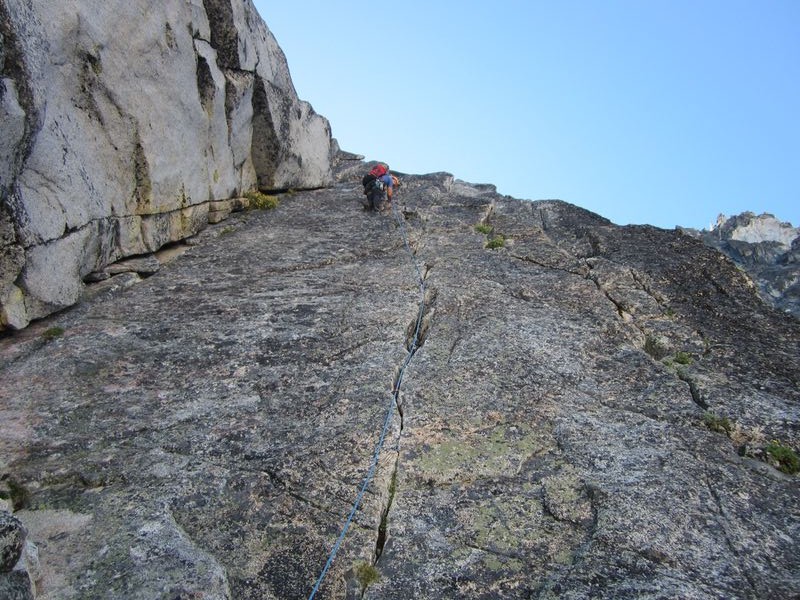
I had low expectations for this one.  And I think largely due to that, I actually had fun.  Lots of friends had pooh-poohed this climb.  It is not a real summit, just a bump on a ridge in Leavenworth.  It's not really and alpine climb, and has too long an approach beyond the other crags to fit into that category.  It is one of the most commonly attained "Basic Rock" "summits" to be ticked off by Mounties Basic Climbing students.  

I injured my leg bad this April on a mountain bike.


After two operations and a lot of time with a wound VAC,

I was finally ready to get out.

My buddy Matty was leading a Mounties group. I invited myself along. I thought it would be the perfect way to get my feet wet after my injury. It turned out be just the ticket. The rock was surprisingly solid and fun, but easy. If you're not really expecting much out of it, I'd say it's worth it.


 The approach took about an hour and a half at a relaxed pace.  We geared up.  I offered to put myself on the middle of one of the ropes, and the Jen was psyched for her first time as a "rope lead", and it was the second's first "alpine rock climb."  I felt that would be the least intrusive.  That way I wouldn't take away from any leading, cleaning, or belaying experience. 

The first pitch was a 4th class gully, leading to bolted anchors on a big ledge.  The second pitch looked like this, mid-5th class, easy, protectable:

From the top of the second pitch, you traverse a big ledge and crawl through a rabbit hole, arriving at another giant ledge.  Then it is one short 15-foot pitch of low-5th class climbing to the summit with bolted anchors.  The actual summit is pretty small, only big enough for about two people.

Matty P. from the summit:

Jen and I on the summit:


Monday, April 1, 2013

Mt. Shuksan, White Salmon Glacier


Mt. Shuksan is one of the iconic ski mountains.  On a clear day, it just sort of taunts you from the Mt. Baker Ski Area.  For those who don't know, the ski area actually exists on the edge of the Shuksan Arm - much more intimately attached to Shuksan than Baker.  Anyway, the view from the ski area on a clear day is impressive: the complex North Face and Hanging Glacier host numerous hardman ski routes.  It is simply a beautiful mountain.  For me, it was another mountain that deserved patience and preparation.  Specifically, I needed to wait until I was ready to ski it.  Sure.  I could have climbed it on foot years ago.  But I wanted to ski it.  I got my backcountry setup two years ago.  And since that time, I have been holding out hope that weather, snow conditions, time off, and partners would align.  They finally did.
The North Face of Shuksan and the Hanging Glacier
 This past year I have reached out through Cascade Climbers to find partners for alpine rock, cragging, and ice.  I still don't have enough ski partners.  So this was my first trip with random partners through Turns All Year.  It worked out, sortof.  Both guys were competent in terms of snow safety, gear, fitness.  Johnny was a very experienced skier.  Fletcher was a splitboarder with a lot of peakbagging experience and a lot of mellow touring, but not much big mountain time.  He struggled a bit in ski mode, especially crossing gullies, avy debris, and the like.  At one point not far into the trip, he came really close to heading back to the car, and we almost let him.  I'd say that all in all, his presence on the trip probably added 2-3 hours to my car-to-car time.  Oh well.

The day was a bit of a mini-epic.  It all started out when we decided to approach Shuksan from the South side, via Baker Lake at the Shannon Creek TH.  I had no beta in books or online about the White Salmon Route, which is the route that gets the most play in the Winter.  That was the main reason we chose the easier Sulphide Glacier route.  Bad choice.  We met up at the Chuckanut Park and Ride at 3:45 am.  We made the drive to Baker Lake, but promptly got shut down by blowdown on the road to the Shannon Creek Trailhead.  We actually cleared one log by sawing through it with my snow saw.  Only to find a whole series of other logs 100 feet further.  We were still 4 miles from the TH.  Rather than pull the plug completely, after much debate, we decided to drive all the way around to the White Salmon side.  We would just see how far the weather and snow would let us get, and enjoy whatever turns we got.  It was a good decision.  We finally embarked from the Mt. Baker Ski Area parking lot at 8:30 am.  Nobody really knew the beta for the route, but you could pretty much see it from the parking lot.  We made a rising traverse on a cat track below the ski area, and then dropped down to the base of the White Salmon and Hanging Glaciers.

It was a bit tedious crossing avy debris and gullies.  This was where Fletcher almost threw in the towel.  Johnny and I spent about an hour waiting for him to catch up.  But once we hit the skin track heading up the White Salmon Glacier, everything seemed to hit cruise control.  It was awesome being so close to the unforgettable North Face of Shuksan with its Hanging Glacier.  We saw a big bus-sized serac calve off and come rushing down the face right next to us, which was exciting.  We kept moving, as the White Salmon actually held some sweet-looking wind-packed powder in the shady areas and the skiing looked great.  We ended up making great time, climbing 3500 feet in 2 hours, and were now at the top of the Shuksan Arm looking at the Upper Curtis Glacier around noon.

White Salmon Glacier
Upper Curtis Glacier and the Summit Pyramid

Shuksan Arm and Mt. Baker

Upper Curtis Glacier
 From there we began to really bake as we headed into the parabolic curve across the Upper Curtis toward Hell's Highway.  But by now, we were thinking summit.
Hell's Highway
 After booting up the last steep bit of Hell's Highway, we hit the broad shoulder of the Sulphide Glacier, and could see the summit pyramid looming close.
Hell's Highway, Sulphide Glacier, Summit Pyramid
It was easy going up the mellow slope of the Sulphide, and soon we were taking off skis and getting ready to boot up to the summit.
Sulphide Glacier

Summit Pyramid

Sulphide Glacier and Baker Lake
 I wrestled with the issue of whether or not to take my skis to the summit.  While it would have been sweet in terms of bragging rights to be able to say I skied off the summit, it didn't look very good the closer we got.  The slope angle wasn't too intimidating.  But the snow was deeply runneled, and looked quite crappy.  Johnny ended up taking his, and Fletcher and I left ours at the base of the pyramid.  He was happy skiing it, but I was very happy personally to have left mine.  The snow was rotten, aerated, deeply runneled, and just not very inviting.  Johnny made jump turns down, with a fair amount of side-slipping in between.  He made it, but didn't make me wish I was skiing it with him.

Beta note: at the top of the funnel, go left to get onto the shoulder leading to the true summit.  Johnny and Fletcher got themselves into a sketchy spot with some crazy exposure and had to downclimb a bit before rejoining me on the correct path.
Johnny and Fletcher booting up the wrong gully on the summit pyramid
 The views from the true summit were spectacular.  This was the Northernmost peak in the Cascades that I've climbed.  So there were a ton of mountains around there that I didn't recognize.  A lot off rugged terrain and mountains that are hard to get to.
Sulphide Glacier and Baker Lake from the summmit

Me on the summit
 It was also crazy to be able to look straight down the North Face, and see the parking lot way off in the distance.  We had a lot of skiing in our near future!

Relief from the summit to the bottom of the White Salmon
The ski out was spectacular!  Much, much, MUCH better than expected.  Creamy, but fast corn awaited on the Sulphide Glacier, which was over in a blur.  Styrofoam and powder along Hell's Highway.  The a brief skin up and across the Upper Curtis Glacier.  More killer corn down the Upper Curtis to the top of the White Salmon.  Then more styrofoam, short bits of powder, and some wetter corn on the White Salmon.  It was over too soon.  We had descended 6000 feet on skis, and I wanted it to keep going!

Finally, the long slog back across the avy debris, gullies, and back up to the ski area.  Again, waiting at least an hour for Fletcher.  Back to the car around 7pm.  So, not too too bad, considering interesting start to our day and late car departure.  What a day.  Glad I waited to ski it.  And I'm glad we ended up skiing the more interesting route.